Azure Maps PCF Control
Azure Maps PCF Control
Overview
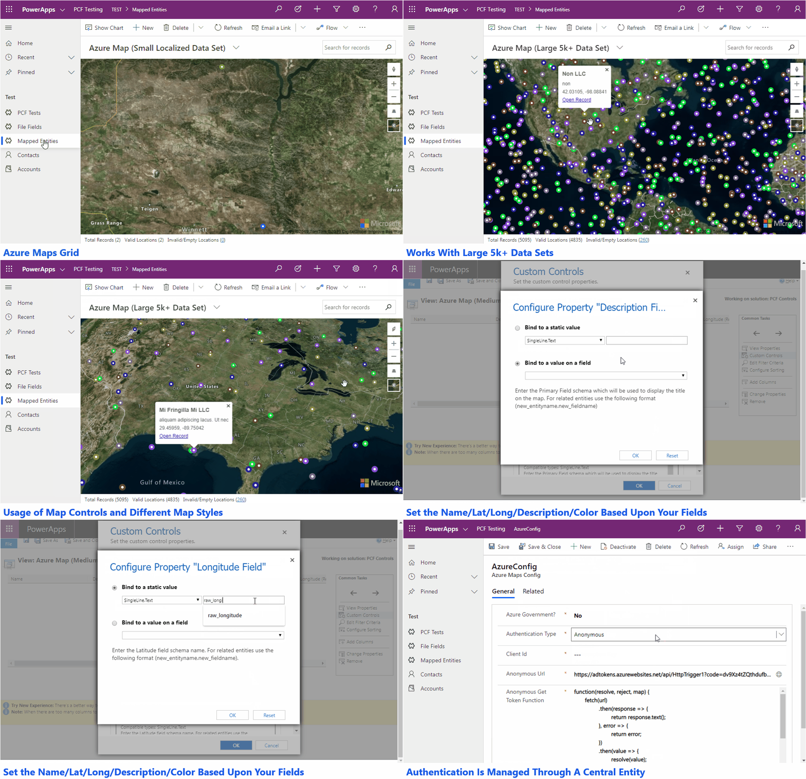
This PCF control allows you to display information for a view that contains latitude and longitude information within Azure Maps. The Popup Box for each point that is created on the map also gives you the ability to open the selected record.

Additional Features
- Utilizes a central configuration entity for authentication which means not having to update multiple controls if authentication changes.
- Map will default to a bounding box defined by the location data being shown.
- Will work with dataset that are 5k+ in size.
Download
The latest release is always available here.
Says it's missing the Authentication Type option set when trying to import the solution.
ReplyDelete